Where the manual approach breaks down
- Mapping is bought in hectares per flight hour, and a multi-rotor covers far less ground than its camera suggests.
- Repeat visits only compare if the flight geometry is the same, which improvised flights rarely are.
- Ground sample distance is set by altitude and focal length, not by the camera's megapixel count — a point usually discovered after the first deliverable.
- The usable window is sunshine and weather, so time on site is normally the limit rather than processing.
How the unmanned workflow runs
Fly the block with a fixed-wing
A VTOL covers large blocks and long corridors at cruising speed and lands without a runway, so the area to be surveyed is what sets the day's plan rather than the launch site.
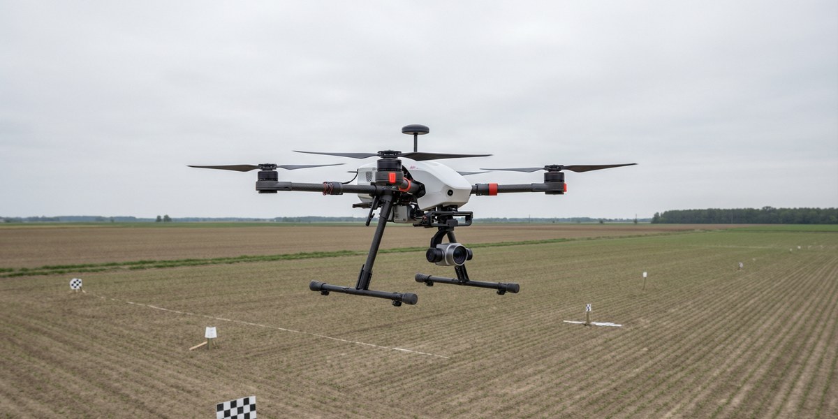
Fill in the detail with a multi-rotor
Oblique imagery, tight boundaries and small sites where hovering and precise positioning matter more than area rate.
Keep the geometry repeatable
A stabilised gimbal mount keeps camera attitude consistent between flights, and that consistency is what makes two epochs comparable.
Review coverage and close the survey chain
The ground station shows flight and coverage while the crew is still on the block, so gaps are re-flown in the same visit. The AT-G10 platform and the ZT30 four-sensor pod are offered as a complete mapping system; the quotation confirms the sensor, positioning, trigger and processing scope for the project.
Frequently Asked Questions
How is accuracy actually set?
By ground sample distance and ground control, in that order: GSD follows altitude and focal length, and georeferencing follows the control you provide. The aircraft's specification does not set it by itself.
Fixed-wing or multi-rotor?
Fixed-wing where area rate and long corridors dominate; multi-rotor where detail, oblique views or confined sites dominate. Most large projects need both, on different days.
Can one campaign cover a corridor and a block?
Yes, and it is common in linear infrastructure: the corridor is flown on a long-endurance sortie and the substations or yards on a separate multi-rotor flight, against the same control network. The AT-G10 platform and the ZT30 four-sensor pod are offered as a complete mapping system; the quotation confirms the sensor, positioning, trigger and processing scope.