Maritime & Mountain Operations with Unmanned Systems
Two environments break links in opposite ways: the sea has no obstacles but no relay points, mountains have plenty of both. Both are solved with the same principle — put a node where the line of sight is.
Where the manual approach breaks down
- The sea offers no relay points but a clear line of sight; mountains offer plenty of high ground and no clear line at all.
- A vessel deck is not a runway, and there is rarely space to prepare one.
- Salt air and temperature swings shorten the life of anything that was not specified for them.
- Coastal and border patrols need persistence, and a short flight time turns one patrol into a series of separate launches.
How the unmanned workflow runs
-
Step 1
Put a node where the line of sight can be restored
Relay nodes sit on a ridge line, a mast or a vessel, which is what makes ridge and island masking survivable along a patrol route.
Video & Data Links → -
Step 2
Launch from the deck or the clearing
VTOL launch removes the need for a runway on a vessel or a mountain site and returns the aircraft to the same small area.
VTOL Fixed-Wing UAVs → -
Step 3
Hold control over coastal distances
A long-range ground station with a spectrum-sensing link keeps control and video over the distances a patrol actually covers, not over a demonstration range.
Ground Control Stations → -
Step 4
Specify for the environment first
Salt air and operating temperature range are selection criteria in their own right, and they belong in the specification before the platform is chosen.
VTOL Fixed-Wing UAVs →
Applicable equipment
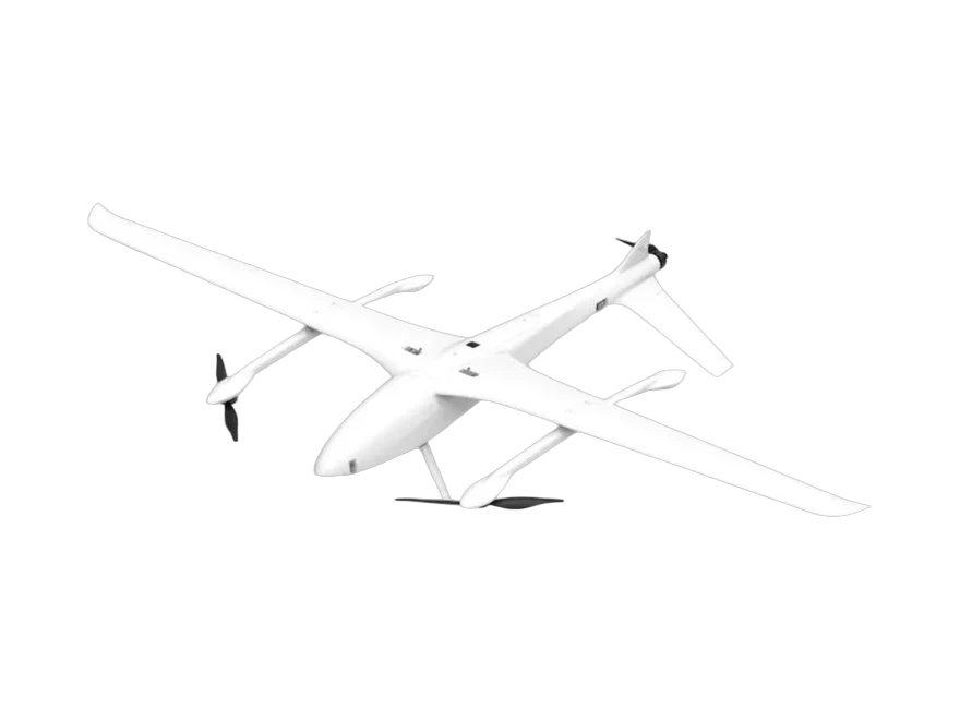
AT-G10 Electric VTOL Fixed-Wing UAV
VTOL Fixed-Wing UAVs
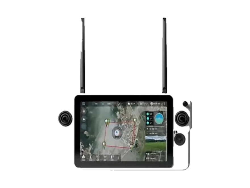
G30
Ground Control Stations
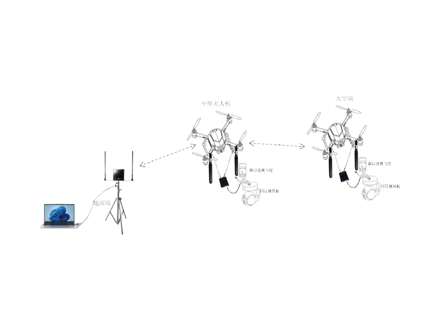
HK-T35 Anti-Interference Video & Data Link
Video & Data Links
Equipment categories used
Video & Data Links · Ground Control Stations · VTOL Fixed-Wing UAVs
Frequently Asked Questions
Can a VTOL launch from a vessel deck?
Yes — vertical take-off and landing is precisely why this class is used at sea. The deck has to be clear and suitable for the aircraft's landing gear; it does not have to be paved or long.
How is salt-air exposure handled?
Salt air and temperature range are treated as selection criteria rather than afterthoughts: they affect the airframe, the connectors and the maintenance interval, and they should be stated in the specification.
Which link suits coastal patrol?
The one that keeps line of sight over water, which is generally easier than over mountains. A long-range ground link with spectrum sensing covers the patrol, and relay nodes are added where islands or headlands mask the path.
Send us the mission profile — area, distance, terrain and the deliverable you need — and we will come back with a configuration and a quotation.
Request a Quotation
Send the model and quantity — we reply with pricing, lead time and the specification sheet.