UAV Surveying, Mapping & Photogrammetry
Mapping is bought in hectares per flight hour. That figure depends on endurance, cruise speed and the ground sample distance the deliverable requires — not on the camera's megapixel count.
Where the manual approach breaks down
- Mapping is bought in hectares per flight hour, and a multi-rotor covers far less ground than its camera suggests.
- Repeat visits only compare if the flight geometry is the same, which improvised flights rarely are.
- Ground sample distance is set by altitude and focal length, not by the camera's megapixel count — a point usually discovered after the first deliverable.
- The usable window is sunshine and weather, so time on site is normally the limit rather than processing.
How the unmanned workflow runs
-
Step 1
Fly the block with a fixed-wing
A VTOL covers large blocks and long corridors at cruising speed and lands without a runway, so the area to be surveyed is what sets the day's plan rather than the launch site.
VTOL Fixed-Wing UAVs → -
Step 2
Fill in the detail with a multi-rotor
Oblique imagery, tight boundaries and small sites where hovering and precise positioning matter more than area rate.
Multi-rotor UAVs → -
Step 3
Keep the geometry repeatable
A stabilised gimbal mount keeps camera attitude consistent between flights, and that consistency is what makes two epochs comparable.
Gimbals & Cameras → -
Step 4
Review coverage on site
The ground station shows flight and coverage while the crew is still on the block, so gaps are re-flown in the same visit instead of in a second mobilisation.
Ground Control Stations →
Applicable equipment
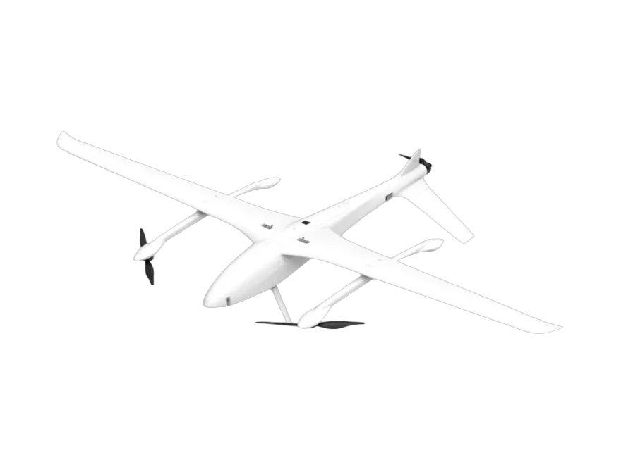
AT-G10 Electric VTOL Fixed-Wing UAV
VTOL Fixed-Wing UAVs
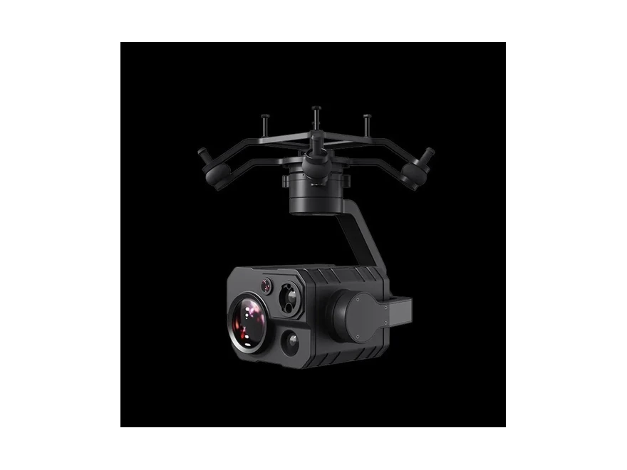
ZT30 Four-Sensor
Gimbals & Cameras
Equipment categories used
VTOL Fixed-Wing UAVs · Multi-rotor UAVs · Gimbals & Cameras · Ground Control Stations
Frequently Asked Questions
How is accuracy actually set?
By ground sample distance and ground control, in that order: GSD follows altitude and focal length, and georeferencing follows the control you provide. The aircraft's specification does not set it by itself.
Fixed-wing or multi-rotor?
Fixed-wing where area rate and long corridors dominate; multi-rotor where detail, oblique views or confined sites dominate. Most large projects need both, on different days.
Can one campaign cover a corridor and a block?
Yes, and it is common in linear infrastructure: the corridor is flown on a long-endurance sortie and the substations or yards on a separate multi-rotor flight, against the same control network.
Send us the mission profile — area, distance, terrain and the deliverable you need — and we will come back with a configuration and a quotation.
Request a Quotation
Send the model and quantity — we reply with pricing, lead time and the specification sheet.