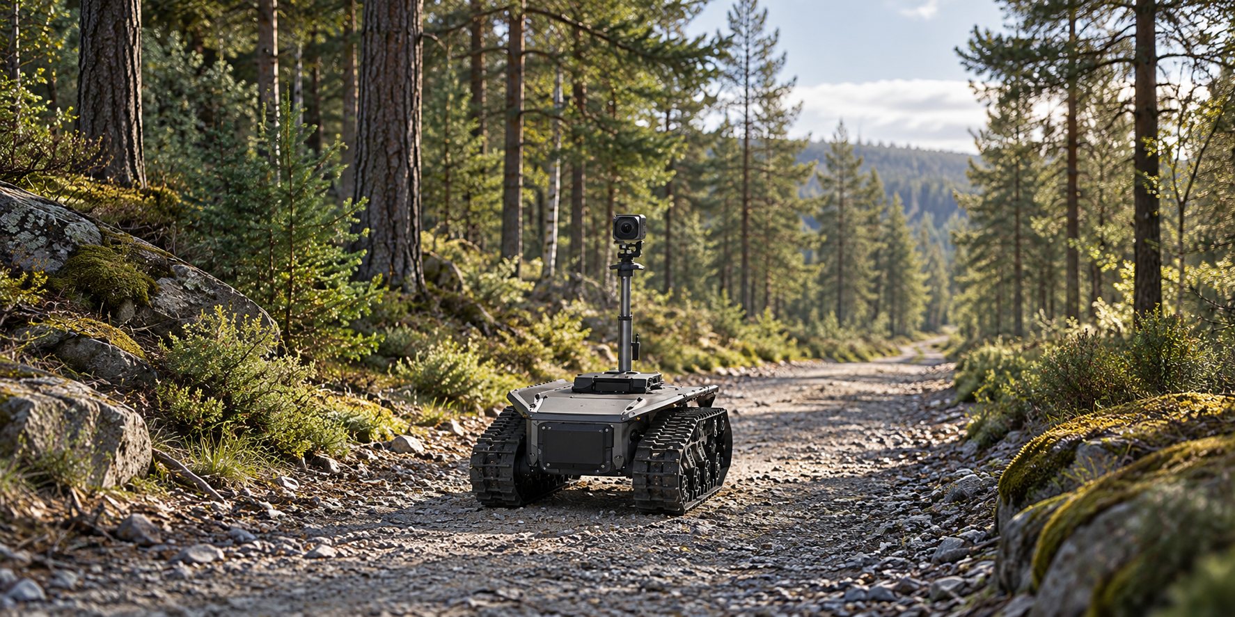
Who this application is for
Forestry operators, infrastructure-maintenance teams, environmental monitoring integrators and civil research projects.
What to solve first
- Repeated checks need consistent observation points and a clear record of where each image was taken.
- Roots, loose surfaces, narrow paths and vegetation can exceed a vehicle's verified operating envelope.
- Tree cover and terrain can obstruct a link even when a product lists a long ground-to-air range.
How to plan the workflow
Survey the permitted access route
Record surface, clearance, slopes, roots and obstacles, turning areas and recovery access. Do not assume that a tracked vehicle can cross any forest terrain.
Define what must be observed
Specify tree, route or infrastructure observations, camera viewpoints and file naming. Environmental sensors and diagnostic analysis are additional project components.
Compare the three carrier options
Review AT-T65, AT-T125 and AT-W220 against payload and route measurements. Use the wheeled option only where the assessed route suits its dimensions and operation.
Test communications on the real route
Use an appropriate antenna plan and permitted frequency. Product ground-to-air distance figures are not a demonstrated ground-to-ground range through forest vegetation.
Plan operation, records and recovery
Assign an operator, stop behavior, observation locations and safe recovery method. Provide route photographs and payload dimensions with your configuration request.
Equipment scope and operating limits
Automatic tree-disease diagnosis, autonomous navigation, guaranteed forest communication range and fire detection performance are not included. Camera, power, recording, location tagging and sensor integration must be scoped separately.
Send these details for a quotation
- Forest access-route photographs and dimensions
- Terrain, vegetation and obstacles
- Observation target and camera mounting height
- Required recording and location-tagging workflow
- Complete payload, quantity and destination
Frequently asked questions
Will the robot drive autonomously through a forest?
Autonomous navigation is not part of the stated chassis configuration. These reference selections start with remotely operated or project-specific control.
Can it work on any woodland terrain?
No. Route clearance, ground condition, slopes, obstacles, load and recovery access must be assessed against the chosen model's documented limits.
Can we use the advertised airborne radio range in a forest?
No. A ground-to-air nominal figure does not establish ground-to-ground range through trees or terrain. Use a route-specific communications assessment.
Are forestry diagnostics included?
No. Cameras and separately specified sensors can provide observations. Diagnostic software, location tagging and forestry interpretation require a defined integration scope.