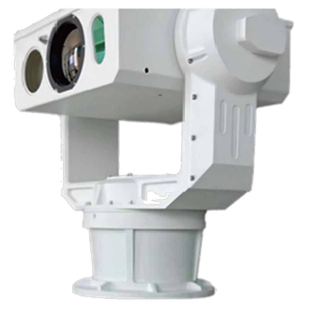
Electro-Optical Tracking Equipment
- Target tracking: radar-linked identification, tracking and positioning of target drones
- Visible light: detection and identification ≥1,500 m for a 0.3 × 0.3 m drone in normal weather
- Infrared: detection and identification ≥1,500 m for a 0.3 × 0.3 m drone in normal weather
Product Overview
The Electro-Optical Tracking Equipment is part of the CUAS range, typically used for Airport and critical-site perimeter monitoring. Key specifications: Target tracking: radar-linked identification, tracking and positioning of target drones; Visible light: detection and identification ≥1,500 m for a 0.3 × 0.3 m drone in normal weather; Infrared: detection and identification ≥1,500 m for a 0.3 × 0.3 m drone in normal weather. Aerosys Technology supplies it EXW from Hong Kong; MOQ 1 SET.
Visible-light and infrared gimbal that identifies, tracks and locates drones beyond 1,500 m in normal weather, slaved to radar for cueing. 1920 × 1080 visible plus 640 × 512 thermal, ≤0.02° positioning accuracy, and classification of people, vehicles and drones.
Counter-UAS (CUAS) systems for low-altitude airspace defense — RF detection, direction finding, jamming, GNSS spoofing and electro-optical tracking to detect, locate and neutralize unauthorized drones.
Key Features
- Target tracking:radar-linked identification, tracking and positioning of target drones
- Visible light:detection and identification ≥1,500 m for a 0.3 × 0.3 m drone in normal weather
- Infrared:detection and identification ≥1,500 m for a 0.3 × 0.3 m drone in normal weather
- Resolution:visible light ≥1920 × 1080; infrared ≥640 × 512
- Field of view:horizontal 40°-1°, vertical 30°-0.9°
- Tracking mode:manual and automatic, radar-linked
Technical Specifications
| Parameter | Value |
|---|---|
| Target tracking | radar-linked identification, tracking and positioning of target drones |
| Visible light | detection and identification ≥1,500 m for a 0.3 × 0.3 m drone in normal weather |
| Infrared | detection and identification ≥1,500 m for a 0.3 × 0.3 m drone in normal weather |
| Resolution | visible light ≥1920 × 1080; infrared ≥640 × 512 |
| Field of view | horizontal 40°-1°, vertical 30°-0.9° |
| Tracking mode | manual and automatic, radar-linked |
| Positioning accuracy | ≤0.02° |
| Rotation speed | pan 0.01-80°/s, tilt 0.01-60°/s |
| Classification | identifies and classifies people, vehicles and drones |
| Operating temperature | -40 °C to 60 °C |
| Protection grade | IP66 |
Application Scenarios
- Airport and critical-site perimeter monitoring
- Industrial plant airspace awareness
- Event and venue security
- Prison and correctional facility monitoring
- Detection trials and system integration
Related solutions: UAV Security & Perimeter Surveillance
Optional Accessories & Variants
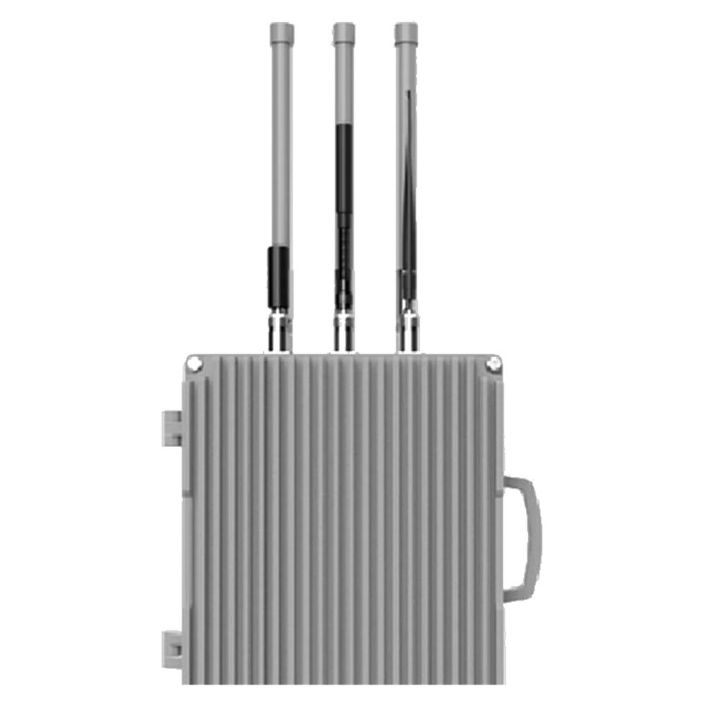
Fixed Drone Detection Equipment
Fixed passive RF sensor that detects and identifies drone control and video links across 300 MHz to 6 GHz. Identifies 30 or more t
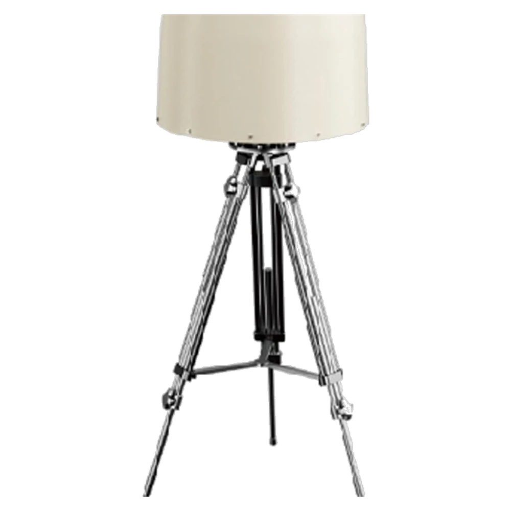
Fixed Drone Detection & Positioning Equipment
Fixed passive detection and direction-finding unit covering 300 MHz to 6 GHz out to 5 km, with 0 m minimum detection altitude and
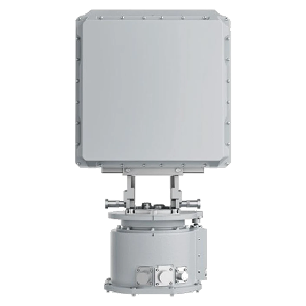
Low-Altitude Detection Radar
X-band low-altitude surveillance radar that detects small drones (RCS ≥0.01 m²) beyond 3 km with a 200 m or less blind zone. Full
Related Products
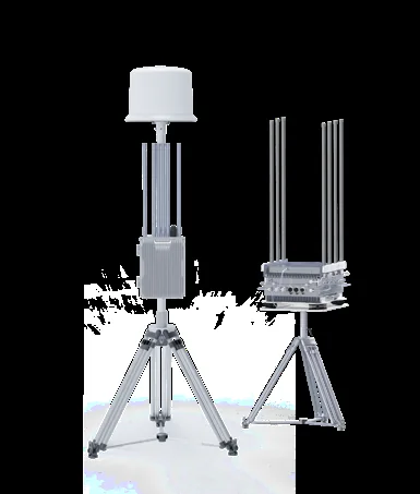
VDC3 Detection & Countermeasure System
Wideband fixed drone detection and countermeasure system covering 10 MHz to 10 GHz with 3-20 km detection and decoding, 2-20 km di
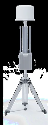
X2D Drone Detection Equipment
Passive wideband drone detection equipment covering 10 MHz to 10 GHz with 3-20 km detection and decoding, 2-20 km direction findin
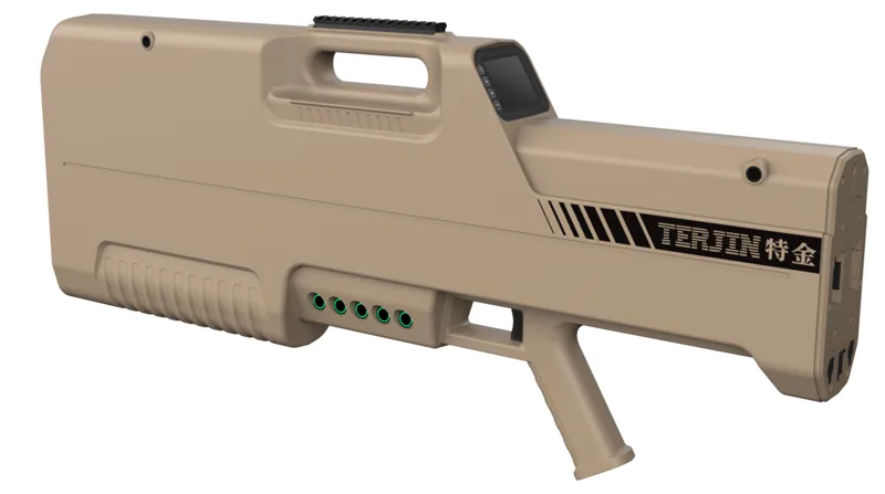
PC3 Integrated Detection, Countermeasure & Spoofing Device
Portable detect-jam-spoof device: 100 MHz - 6 GHz detection at 1-3 km with about 5 h endurance, seven-band countermeasure at 1-1.5
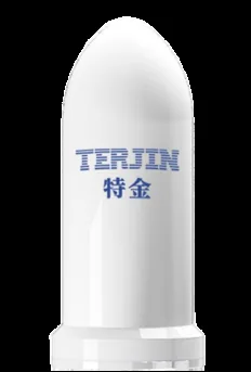
UD3 Portable Drone Detection Device
Compact low-power drone detection device covering 100 MHz - 6 GHz at 1-3 km with RID 0.5-2 km and ADS-B reception; IP68 / IK09 rat
Commonly Integrated With
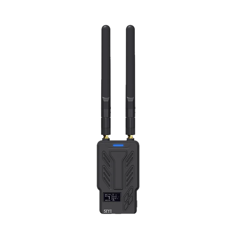
HM30 Full HD Image Transmission System Standard Combo
Video and data link system for long-range UAV video, telemetry and remote control. The package includes HM30 Ground Unit, HM30 Air
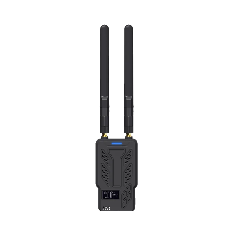
HM30 Full HD Image Transmission System Fly More Combo
Video and data link system for long-range UAV video, telemetry and remote control. The package includes HM30 Ground Unit, HM30 Air
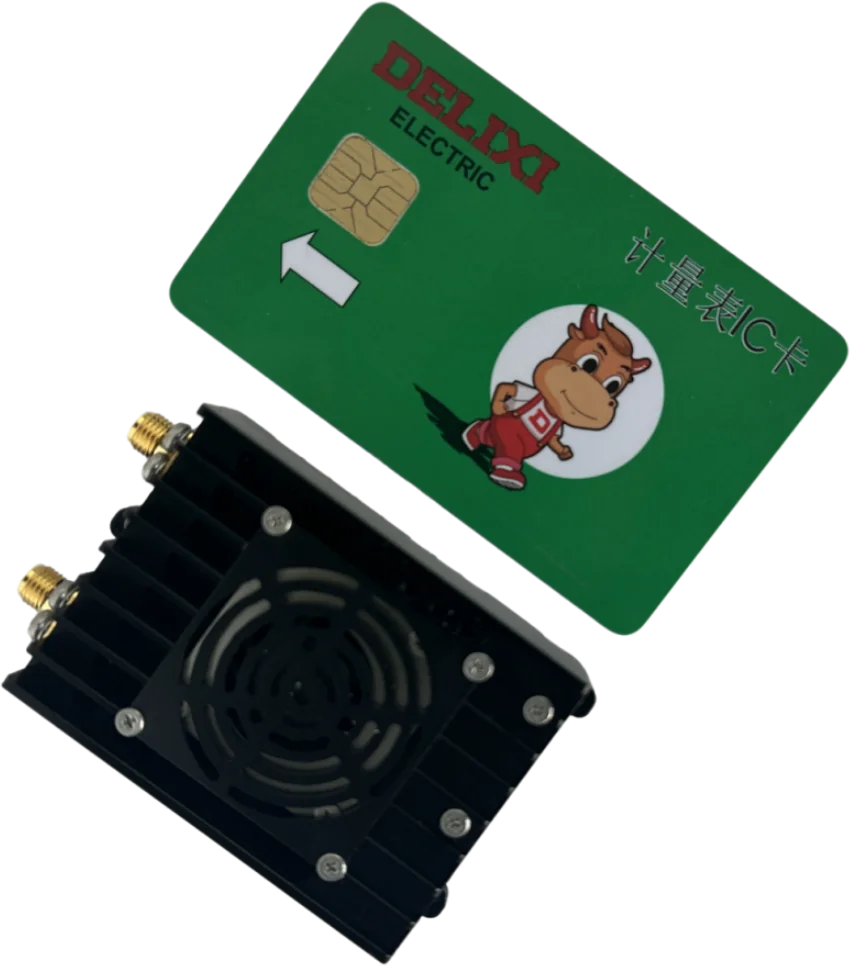
HK-T27 Anti-Interference Video & Data Link
30 km ground-to-air link from the AEROLINK Anti-Interference Video & Data Link series. Real-time spectrum sensing with dynamic fre
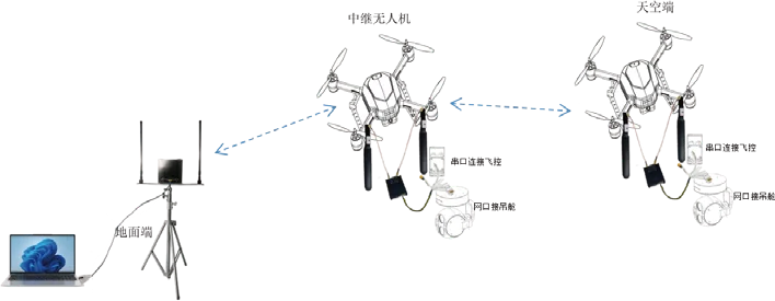
HK-T30 Anti-Interference Video & Data Link
50 km ground-to-air link from the AEROLINK Anti-Interference Video & Data Link series. Real-time spectrum sensing with dynamic fre
Frequently Asked Questions
Are your products export-controlled, and what documentation do you provide?
Export licensing is the buyer's responsibility: the purchaser obtains export qualifications, licences and end-user documentation and complies with the import, export, sanctions and radio rules of China, the destination country and any transit country. We supply commercial invoices and standard shipping documents, and we do not support resale to sanctioned entities or conflict zones.
Do you sell military or weapon-capable equipment?
No. The catalogue covers civilian, industrial and compliant scientific research use only. We do not list weapon stations or military-effect payloads, and we do not supply armed-conflict, unlawful-surveillance or sanctions-restricted end users. Every product is supplied for lawful commercial and industrial applications.
How do I get a quotation, and how long is it valid?
Send us the model numbers and quantities you need — WhatsApp is the fastest route, and email works too. Quotations are issued in USD and are valid for 14 days from the date of issue unless a different period is stated. An order is confirmed only when we issue a written order confirmation and receive the agreed payment; a quotation or a WhatsApp message alone is not an accepted order.
What does Aerosys Technology supply?
We are a manufacturer of unmanned aircraft, unmanned ground vehicles and the components that support them, and have been building and shipping them since 2018. Our catalogue covers 108 product models across 8 categories: Ground Control Stations, Video and Data Links, Gimbals and Cameras, VTOL Fixed-Wing UAVs, Multi-rotor UAVs, Unmanned Ground Vehicles, Mowers and Lawn Equipment, and Drone Detection and Tracking — serving commercial operators, system integrators and enterprises worldwide from our base in Hong Kong.
What is the minimum order quantity?
It depends on the product line. Complete platforms such as VTOL aircraft and unmanned ground vehicles are quoted per set. Ground control stations, gimbal systems and video link systems are quoted on a 5-unit basis. Individual components and mowers are available from a single piece. The MOQ for each item is listed on its product page.
How long does shipping take?
In-stock components are generally prepared within 1 to 3 business days after payment clears. Typical transit time is roughly 3 to 7 business days by international express (DHL, UPS or FedEx) and 7 to 21 business days by standard parcel service, with air or sea freight arranged for larger and heavier items. These are estimates rather than guarantees, because customs processing is outside our control.
Request a Quotation
Send the model and quantity — we reply with pricing, lead time and the specification sheet.